
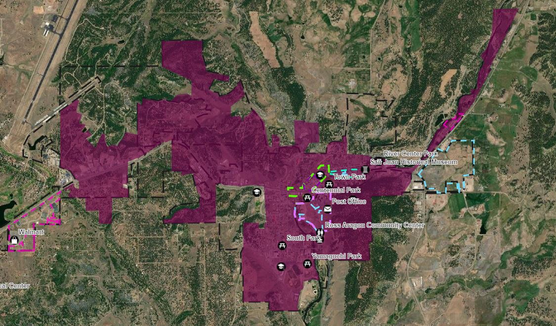
Sanitation District Boundary Map

A map of the Pagosa Springs Sanitation General Improvement District (PSSGID) boundaries is provided below.
An interactive map can be accessed using the below link. In order to see the GID boundaries select Layers from the top menu and check the box by PSSGID Boundary. The district is shaded in a dark burgundy.
| Attachment | Size |
|---|---|
| 233.67 KB |